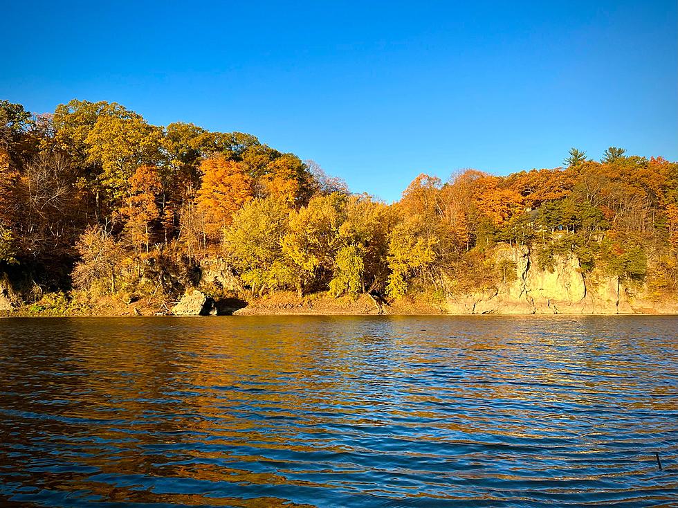

Big Fall Storm Is Headed For Iowa This Week
Much of Iowa has been dealing with drought conditions which would make rain a good thing, right? Not if you're an Iowa farmer.
It's harvesting time and farmers are out picking crops left and right. This major fall storm won't be bad for farmers because of wind, hail, or tornadoes, but it's going to be a long soaking.
Major Dent In Iowa's Severe Drought Areas
We've been dealing with drought conditions for quite some time in Iowa, especially in areas in eastern Iowa.
A drought monitor from Oct. 3rd from the National Weather Service of the Quad Cities shows that drought has worsened over the past week. Exceptional drought now includes all of Benton, most of Linn, and portions of Buchanan, Iowa, and Johnson counties.
With a long duration, soaking rainfall in the forecast for mid to late week, this could make drought conditions lighten up but farmers won't be too happy about it.
Big Fall Storm To Be Long Last In Iowa
As the forecast sits right now, it looks like Iowa will be getting most of the rain starting Wednesday and into the weekend.
If you look at the 1-5 day map from NOAA and the NWS Weather Prediction Center, you can see that most of Iowa will see quite a bit of rainfall ranging from 1-3 inches.
The NWS is anticipating this long-duration, soaking rainfall to move into our region starting Wednesday and lasting through early Friday with widespread 1/2 to 2 inches of rain possible during that time.
The highest rainfall amounts will most likely be towards the north, especially for locations along Highway 20. Rains are expected to continue into Saturday bringing a possible extra inch of rain.
When Will The Rain Start And End In Iowa?
For you farmers in the middle of harvesting, you're going to have to put a pause on your work starting tomorrow (Wednesday). For farmers in eastern Iowa and portions of northwestern Illinois, things are going to be a little soupy by the time the rain ends.
It looks like the rain will wrap up by Saturday evening. It's going to probably feel like this storm will be around forever because four days of rain is a lot of rain. This is what we get for 90° days to start October.
This is the forecast through Saturday, according to the NWS of the Quad Cities:
- Wednesday
- Showers likely, with thunderstorms also possible after 2 p.m.
- Increasing clouds, with a high near 58°.
- Southeast wind 5 to 10 mph.
- Chance of precipitation is 70%. New rainfall amounts between a tenth and a quarter of an inch, except higher amounts possible in thunderstorms.
- Wednesday Night
- Showers and possibly a thunderstorm.
- Low around 52°.
- East wind 10 to 15 mph, with gusts as high as 20 mph.
- Chance of precipitation is 90%. New rainfall amounts between a half and three-quarters of an inch possible.
- Thursday
- Showers and possibly a thunderstorm before 11 a.m., then showers likely.
- High near 66°.
- East wind 10 to 15 mph, with gusts as high as 20 mph.
- Chance of precipitation is 90%. New precipitation amounts between a tenth and a quarter of an inch, except higher amounts possible in thunderstorms.
- Thursday Night
- A chance of showers before 8 pm, then showers likely after 2 am.
- Mostly cloudy, with a low of around 58°. Breezy.
- Chance of precipitation is 60%. New precipitation amounts between a tenth and quarter of an inch possible.
- Friday
- Showers likely, then showers and possibly a thunderstorm after 8 am.
- High near 67°. Breezy.
- Chance of precipitation is 90%. New rainfall amounts between 1 and 2 inches possible.
- Friday Night
- Showers and possibly a thunderstorm before 2 a.m., then a chance of showers.
- Low around 50°.
- Chance of precipitation is 90%.
- Saturday
- Showers are likely, mainly between 8 am and 2 pm.
- Mostly cloudy, with a high near 54°. Breezy.
- Chance of precipitation is 60%.
- Saturday Night
- A 30 percent chance of showers before 8 pm.
- Mostly cloudy, with a low of around 45°. Breezy.
Quad Cities Pumpkin Patches
Gallery Credit: Connor Kenney/Townsquare Media Quad Cities
These 11 Banned License Plates In Illinois Keep It Classy
Gallery Credit: Canva
More From Q98.5


![11 Awesome Iowa Cabins to Check Out This Fall & Winter [GALLERY]](http://townsquare.media/site/675/files/2023/10/attachment-Untitled-design-53.jpg?w=980&q=75)